Project: GeoSAFE
Version: 2.0
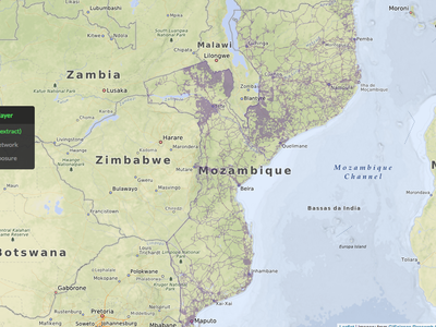
With Kartoza's docker-osm project integrated with GeoNode-QGIS_server, you can now configure any OSM extract you like as a QGIS layer published in GeoNode. If you give that layer valid InaSAFE keywords, it becomes a valid GeoSAFE layer.
The exposure data you define from OSM is updated regularly.
https://github.com/kartoza/geonode/issues/422