Project: InaSAFE
Version: 4.2.0
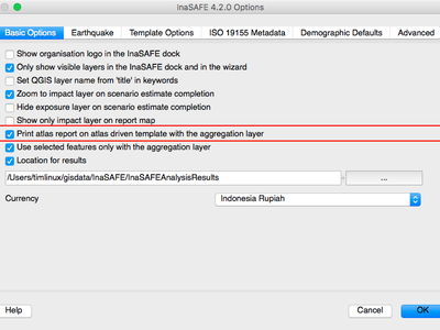
In 4.2 we have added experimental support for producing atlas reports. An atlas report is a series of map sheets in a series (for example one sheet per aggregation area). When using this feature, be sure to enable the new option in the InaSAFE options dialog that enables atlas printing. Currently only the map report supports atlas (infographic etc will come in future versions). Also note that preparation of the atlas report may substantially increase the length of time InaSAFE takes to generate the reports at the end of the analysis process.