Project: InaSAFE
Version: 4.0.0
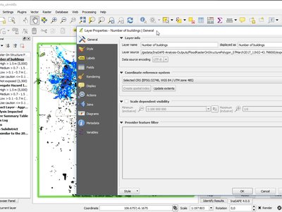
In previous versions of InaSAFE, you generally needed to prepare and work with data in EPSG:4326 "Geographic" coordinate system. This was due to an underlying limitation of some of the analysis routines we used. In this release, you can now use data in any Coordinate Reference System - as aillustrated in the accompanying screenshot where we have carried out the analysis using UTM 48S data - and the resulting impact layer is also in this Coordinate Reference System.
This feature was funded by DFAT/WB-GFDRR