Project: InaSAFE
Version: 3.3.0
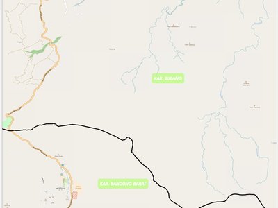
Having a standard contextual backdrop layer in InaSAFE can make it easier to see what the surrounding area and infrastructure consists of when doing an analysis. Many people use the OpenLayers plugin to add a Google Maps layer as a backdrop for this purpose. However there is an issue with the OpenLayers plugin in that it does not lend itself to printing very well due to its underlying architecture (this is also one of the reasons it is not shipped as a 'core' plugin in QGIS). For this release we have added a new tool that will load an OpenStreetmap layer as a backdrop layer in your project. This map layer should be fully printable. Please note that for best results you should use the OSM tile layer at the standard OSM scales (see this article for details).
This feature was funded by DFAT/DMInnovation
This feature was developed by Tim Sutton
