Project: InaSAFE
Version: 3.3.0
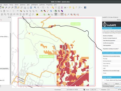
This new Impact Function uses Bayesian Fatality curves to provide a more realistic interpretation of how many people might be affected per raster cell at each MMI level. This model was developed by Institut Teknologi Bandung (ITB) and implemented by Dr. Hyeuk Ryu, Geoscience Australia.
Reference:
An Empirical Fatality Model for Indonesia Based on a Bayesian Approach by W. Sengara, M. Suarjana, M.A. Yulman, H. Ghasemi, and H. Ryu submitted for Journal of the Geological Society
This feature was funded by GeoScience Australia
This feature was developed by Dr. Hyeuk Ryu